We are currently updating documentation to reflect recent UI changes across Centrix. This documentation is out of date. |
In Centrix, a Site defines a geographical location that combines data from a collection of sensors/assets into a single view. Often, this is a one-to-one relationship with a data logger (or single network of data loggers), though it is possible to combine data from multiple data loggers onto a single site - with some /wiki/spaces/CEN/pages/1618575391.
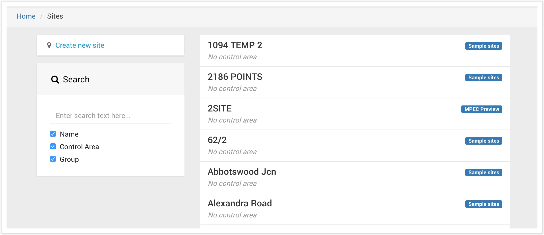
To view a listing of all the sites available for your user account;

When first opened, the listing will show a paged list of all the sites you have access to. Each site in the listing displays the following details;
The listing can be filtered using the Search box. By default, any text you enter will be searched within the site's name, control area and groups. You can de-select any of these items to search only in specific field(s).
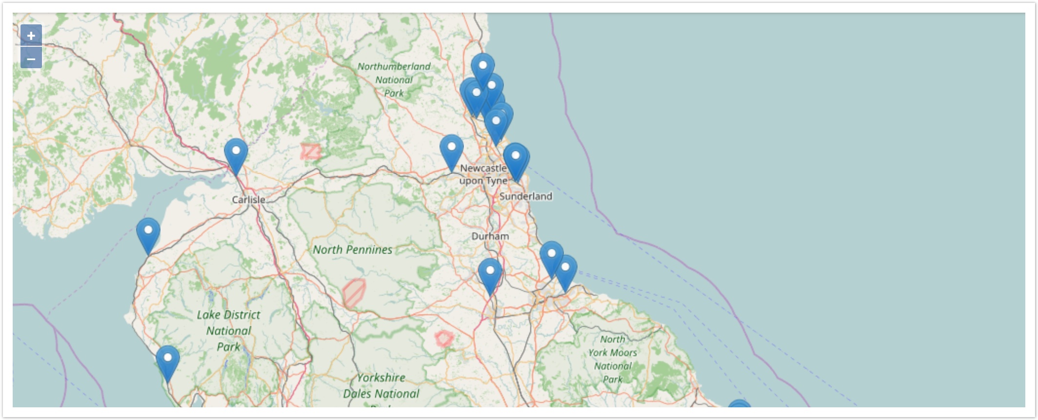
Sites can hold geolocation (longitude/latitude) values which will allow them to be pinned onto a geographical map.
The map can be accessed as follows;

Hover over any of the markers to reveal the site name. Click on any to view/edit the details of the site.
| If your sites are not shown on the map, it is likely they have not had their geolocation details configured. You can add geolocation details by editing the site. |
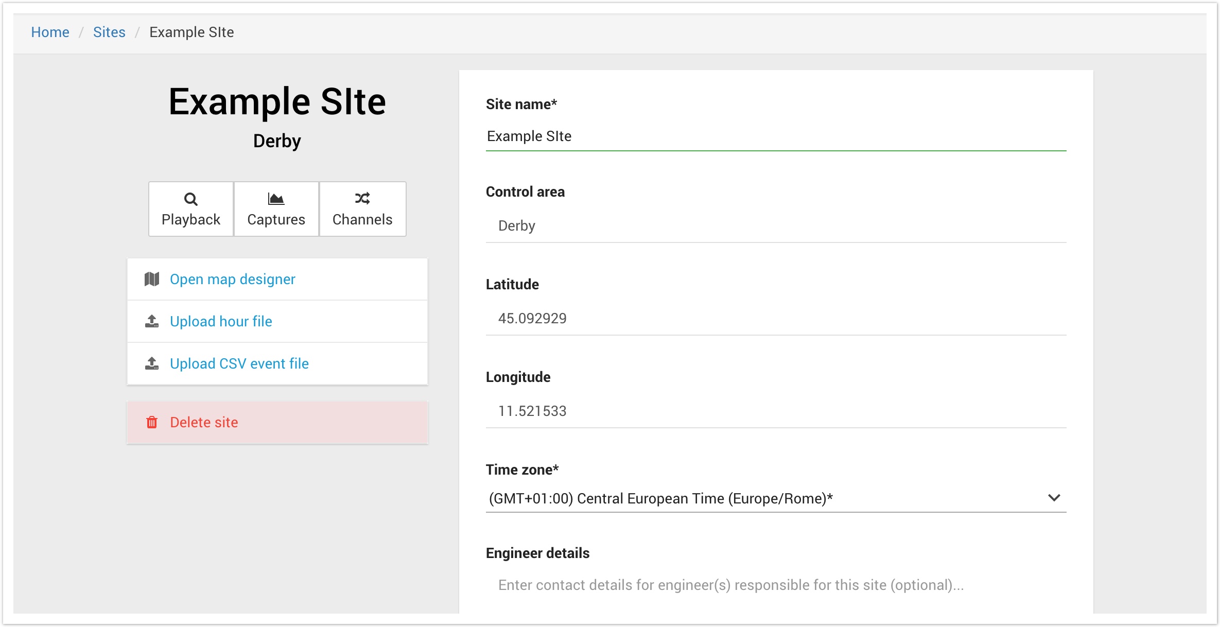
To view the full details of a site, click on the site from the Site Listing or the Site Map, as described above.

This page will show editable controls if you have site admin privileges in Centrix. If you do not have this access level, you will only be able to view the details of the site.
Sites hold the following attributes;
In addition to displaying the site's attributes, you can also use the provides buttons to link to other areas of the system for this site;